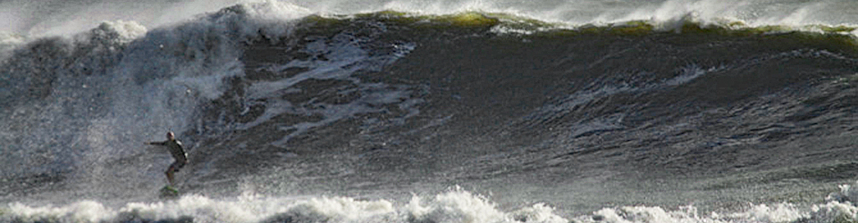
“Rough Surf, Dangerous Rip Currents:” Hurricane Erin Boosts to Cat 5
Hurricane Erin strengthens into a Category 5, as it moves north in the Atlantic and experts warn of potential dangerous (and possibly) epic waves.
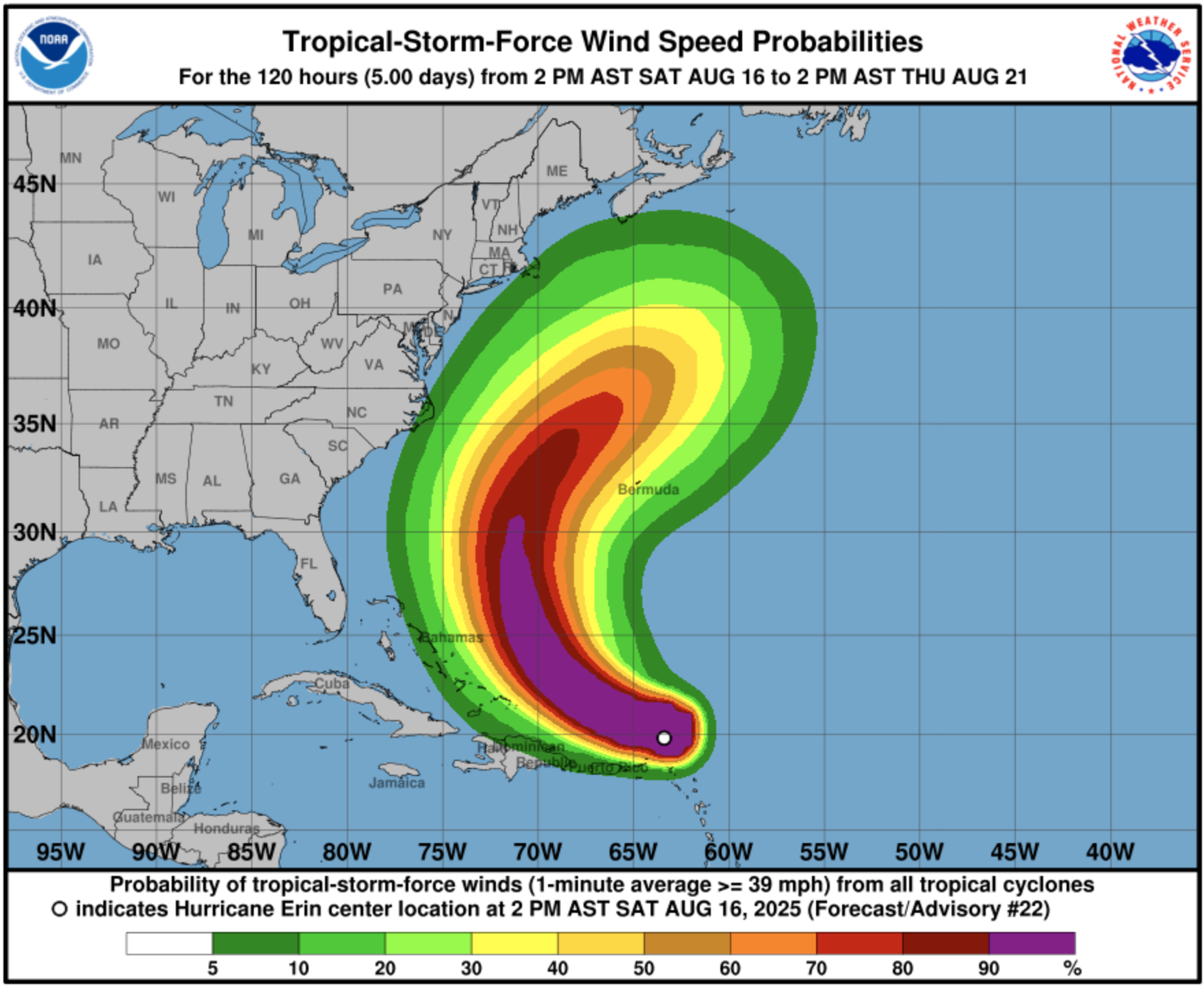
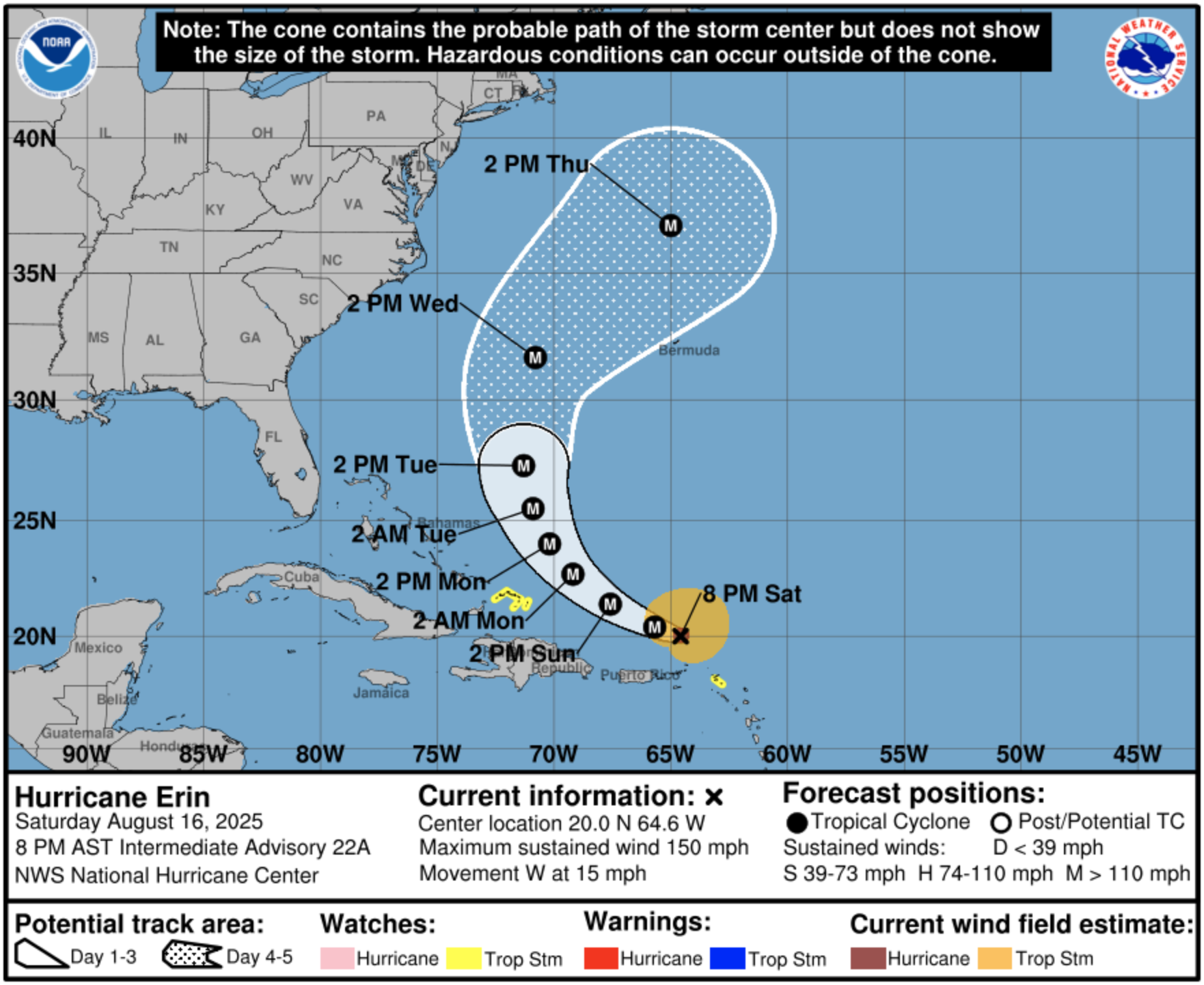
Swell-chasers and wary coastal property owners continue to monitor the trajectory, and strength of Hurricane Erin, as it continues toward the east coast.

The storm is currently looming over the Caribbean, with a trajectory moving northward, with a path that curves away from the eastern seaboard, away from landfall, yet still sending stormy conditions (and potentially sizable swell) to the east coast.
AccuWeather Lead Hurricane Expert Alex DaSilva, called the conditions “near perfect,” when it comes to the storm strengthening on its path.
“Erin is forecast to slowly curve to the north as it continues to strengthen over the weekend. At this time, the storm is forecast to remain hundreds of miles off the East Coast,” DaSilva said. When it comes to the waves, he continued:
“Beaches along the entire East Coast, from Florida to New England and Atlantic Canada, will likely experience rough surf and dangerous rip currents as Erin tracks north and eventually northeast.”
Here’s the latest from the reliable forecaster Bryan Norcross:
Norcross is known for his matter-of-fact content and delivery without all the hype from others that is intended to scare folks and get clicks.
Check on the current surf conditions with our Florida East Coast Beach Webcams here on BrownieBytes.net